
Lower Township ZIP Code Coverage
Four five-digit postal areas are associated with Lower Township in the local ZIP-map research, but each is a working delivery map rather than a township boundary. The USPS ZIP Code Lookup is the authoritative address-level check. USPS states that a ZIP result does not confirm a person or company at an address and that delivery areas do not necessarily follow municipal boundaries. Use the table to identify a possible postal route, then verify the individual street with USPS and the county parcel map.
| Postal route | Lower Township areas associated | Post office or station | Postal caution |
|---|---|---|---|
| 08204 | North Cape May, Townbank, Cold Spring, Fishing Creek, and southern or mainland addresses using Cape May | Cape May Post Office and North Cape May station | A Lower Township address can use the Cape May city line; check street and ZIP+4. |
| 08242 | Rio Grande or central Lower Township delivery fringe and nearby postal area | Rio Grande Post Office | Do not infer Lower Township jurisdiction from this ZIP alone. |
| 08251 | Villas, Bayshore Road municipal-center area, and much of central Lower Township | Villas Post Office | The postal label most closely aligns with the municipal center, but still verify each address. |
| 08260 | Diamond Beach and oceanfront or shoreline addresses using Wildwood | Wildwood Post Office | Lower Township jurisdiction can carry a Wildwood city line. |
Cape May Point 08212 is nearby but is a separate borough and should not be folded into a Lower Township result. Exact parcel-level coverage for 08242 and 08260 was not published in the research, which makes address verification essential.
Lower Township Postal Geography
Lower Township occupies the southern tip of the Jersey Cape and includes Cold Spring, Erma, Fishing Creek, Villas, Diamond Beach, Shawcrest, Schellenger's Landing, North Cape May, and Townbank. Those community names, a postal city, and the township boundary describe different things. An envelope may use Cape May, Villas, Rio Grande, or Wildwood even where the municipal jurisdiction remains Lower Township. Keep all of those values rather than overwriting one with another.
The Lower Township official area map supplies local geographic context for a postal check.
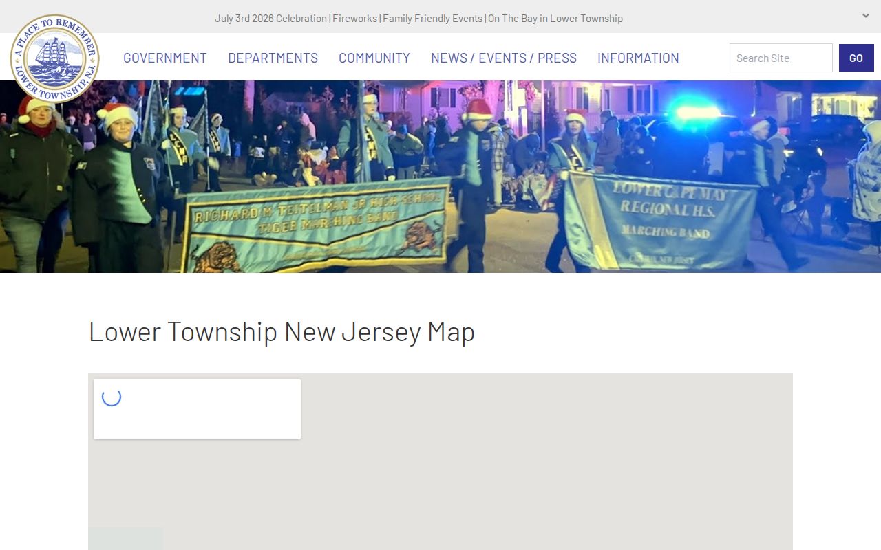
The map helps identify community names, while USPS and parcel records determine the delivery and municipal fields for a specific street.
Note: A postal city identifies delivery geography, while the municipal field identifies the jurisdiction used for township and county records.
08204 Lower Township Postal Route
The 08204 route is the clearest reason to separate postal and municipal data. It is associated with North Cape May, Townbank, Cold Spring, Fishing Creek, and other southern or mainland Lower Township addresses using Cape May as the postal city. The Cape May Post Office is at 700 Washington Street, Cape May 08204. The North Cape May station is listed at 3860 Bayshore Road Ste 4, Cape May 08204-3200, and the Coast Guard Base uses Cape May 08204-9997. Those postal names do not settle the township field.
USPS Cape May and North Cape May location information is the source for the station context shown here.
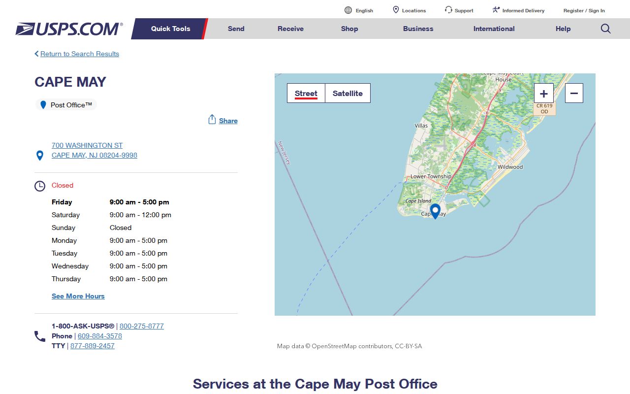
Check the full street address with USPS, then use county parcel tools to distinguish Lower Township from Cape May City, Cape May Point, and other nearby jurisdictions.
08251 Lower Township Postal Route
The 08251 route covers Villas and the Bayshore Road municipal-center area, as well as much of central Lower Township. The Villas Post Office is listed at 1814 Bayshore Road Ste 1, Villas 08251-9998. Township Hall is at 2600 Bayshore Road, Villas 08251. That makes the Villas postal line a useful orientation point, but a five-digit route is still not a tax jurisdiction, neighborhood boundary, or resident list.
USPS Rio Grande and Villas location information provides the postal-location reference for both central delivery areas.
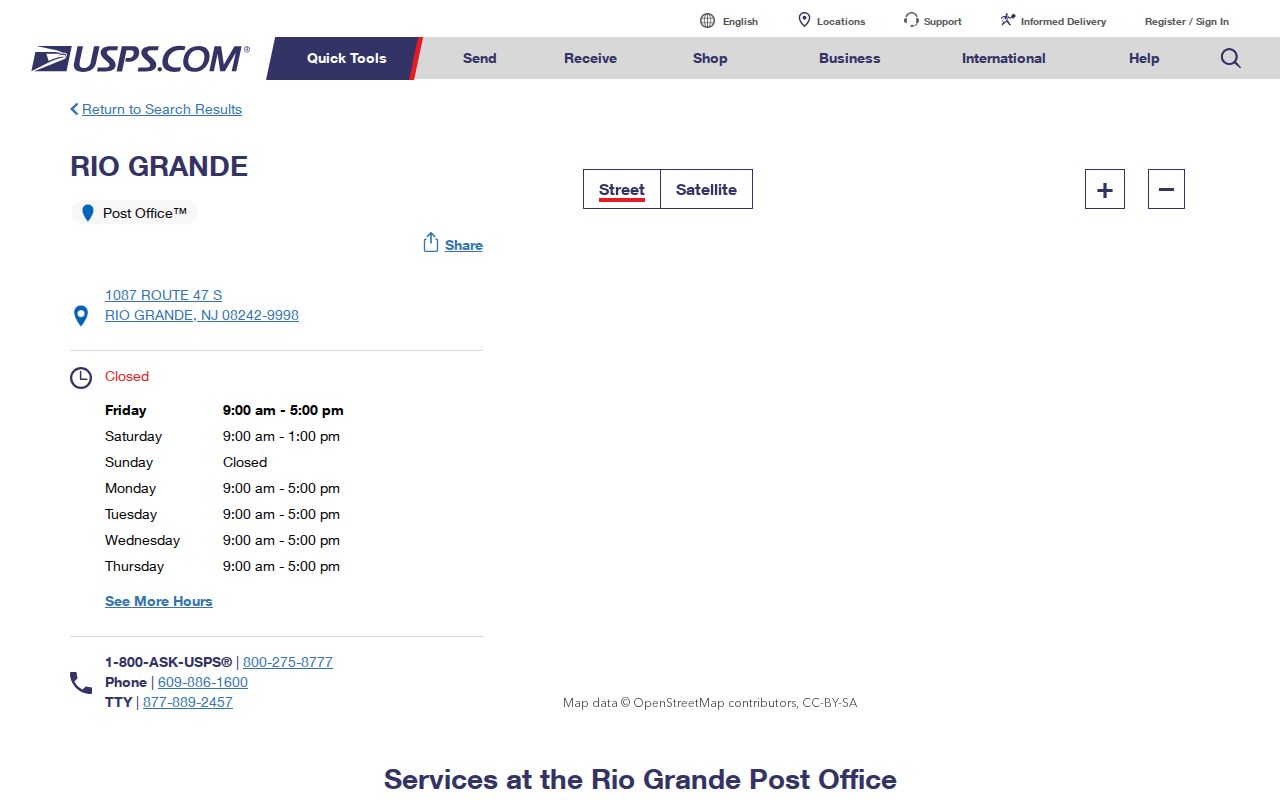
Use the actual street and unit, where applicable, before relying on a city line or a five-digit result returned by a broad search.
Note: The Villas mailing line is a useful local starting point, but USPS and the parcel record remain the address-level checks.
Lower Township Delivery Edges
Rio Grande 08242 is a central Lower Township delivery fringe or nearby overlapping postal area. The Rio Grande Post Office is listed at 1087 Route 47 S, Rio Grande 08242-9998. The research does not publish its exact parcel-level township coverage, so a street in 08242 needs a USPS check and a parcel lookup. Treat the result as delivery geography, not proof that the property is inside Lower Township.
Diamond Beach presents the sharper mismatch. It uses Wildwood 08260 as a postal city, while township code, zoning, and municipal records place the Lower Township portion in Lower Township. The Wildwood Post Office is listed at 3311 Atlantic Ave, Wildwood 08260-9998.
USPS Wildwood location information is the source for the Wildwood postal context.
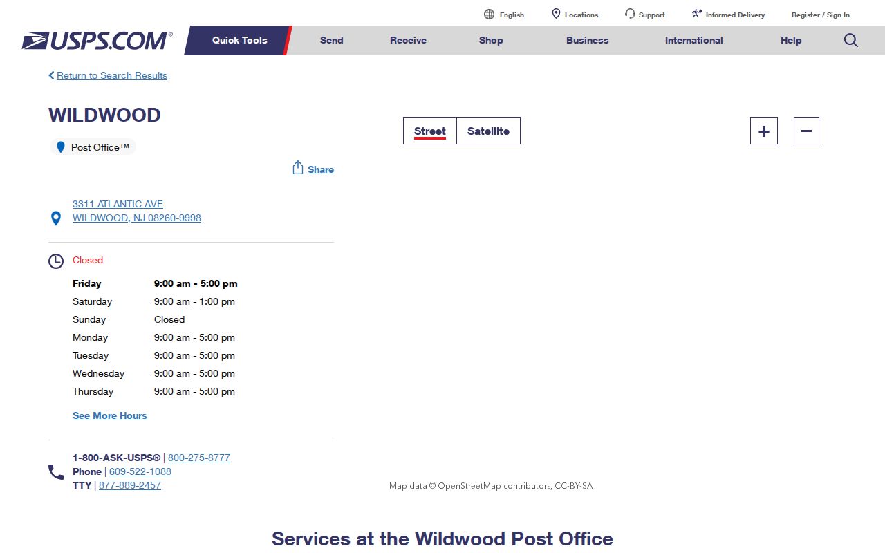
For Diamond Beach, record Wildwood as the postal city and Lower Township as the municipal jurisdiction when the parcel record supports that combination.
Verify a Lower Township ZIP Code
USPS offers three useful modes: ZIP Code by Address, ZIP Code by City and State, and Cities by ZIP Code. Address-level verification is the better final step where a city has several delivery routes or a community overlaps another postal area. The tool standardizes delivery geography. It does not identify every person at a location, establish ownership, or replace a county record.
| ZIP by Address | Use a street address and city and state. Company, unit, and ZIP can be added when known. |
|---|---|
| ZIP by City and State | Use a city line and state to obtain the possible ZIP codes for that postal city. |
| Cities by ZIP | Enter a valid five-digit ZIP to see recognized or recommended city names. |
Note: USPS tells users that a ZIP result is not confirmation that a person or company is located at the address.
Search Lower Township by ZIP
A ZIP can narrow a records search, but it is not a primary field in the local parcel and voter tools reviewed for Lower Township. Start with USPS, then move to the municipality and address-based systems. PRESS accepts municipality, owner, address, and block-and-lot modes. The county GIS viewer accepts physical address, owner, and municipal-code block-lot searches. The voter portal is a person-oriented registration-status check, not a complete address list.
- Run USPS ZIP by Address and record the ZIP, postal city, complete street address, and any ZIP+4 returned.
- Open PRESS, choose Lower Township as the municipality, and search by address or by block and lot rather than expecting a ZIP filter.
- Use the Cape May County Parcel Viewer with the physical address or municipal code 0505 plus block, lot, and qualifier to confirm the parcel field.
- If an election-district record is needed, contact the Cape May Board of Elections with the municipality, district, desired fields, and format under the applicable Title 19 rules.
- Keep the USPS result, parcel result, source date, and any difference between postal city and municipality together in the research notes.
For a voter-file request, the ZIP itself is not the request key. New Jersey's statutory voter-list route uses election districts, has Daniel's Law address exclusions, and excludes signatures. The research describes an electronic copy route for a voter requester with reproduction cost capped at $375, but the current Cape May request form, field inventory, fee sheet, and file format were not located. Ask the Board of Elections for the current requirements before submitting a request.
Once the ZIP has narrowed an area to a particular road, the Lower Township By Street directory supplies the address-focused record route.
Lower Township USPS Fields
The USPS form inspection identified the fields below. The required fields differ by mode, and a city line can differ from the municipality. Copy the official form values rather than substituting a community name from a map or a deed.
| USPS mode | Field | Required | Lower Township use |
|---|---|---|---|
| ZIP by Address | Street Address | Yes | Use the full delivery street address. |
| ZIP by Address | City and State | Yes | Enter the postal city and choose New Jersey. |
| ZIP by Address | Company, Apt/Suite/Other, ZIP | Optional | Add a unit or known ZIP when it helps resolve a specific delivery point. |
| ZIP by City and State | City and State | Yes | Use to list possible delivery routes for Cape May, Villas, Rio Grande, or Wildwood. |
| Cities by ZIP | ZIP Code | Yes | Use a valid five-digit ZIP to see recognized city names. |
PRESS and GIS are the documented next tools after the postal check. Neither was found to offer ZIP as its primary search field, so an address or parcel identifier carries the local verification forward.
Note: Preserve the USPS form values separately from the municipality and parcel values because the same address can carry different geographic labels.
Lower Township Parcel Details
County parcel work uses municipal code 0505 plus block, lot, and qualifier. Omit a condominium qualifier when a search should return all units. A legal description in an older deed may instead use a subdivision, tract, or metes-and-bounds wording, and that description controls. PRESS may show current owner information, a map, and current or prior sale links, but it is not a complete historical ownership search and a tax mailing address does not prove occupancy.
New Jersey municipal-boundary GIS data provides a state geographic reference alongside the county parcel tools.
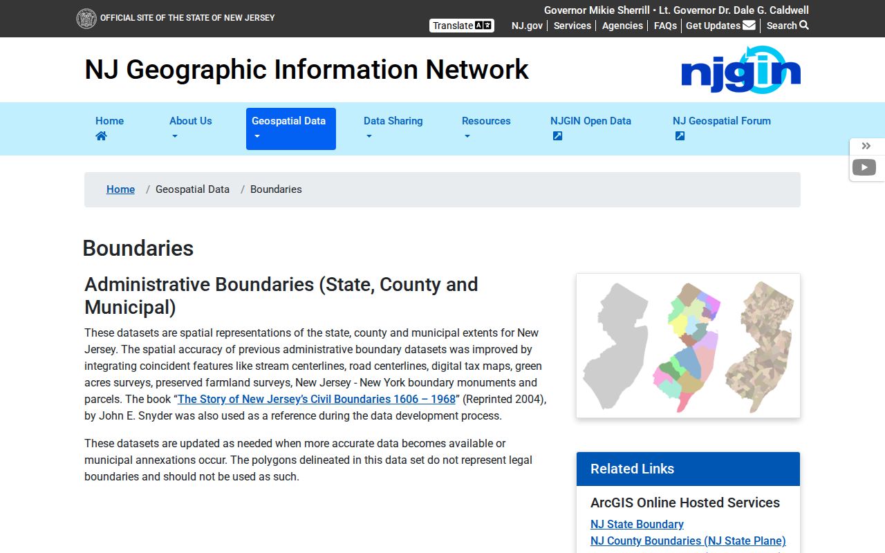
Use a boundary reference to support the municipal field, then preserve the distinct postal-city result returned by USPS.
Lower Township Postal Limits
Postal boundaries and municipal boundaries diverge in Lower Township. North Cape May is a township community even though its USPS station carries a Cape May address. Diamond Beach can carry Wildwood 08260 while municipal records remain Lower Township. North Cape May was a borough from 1928 to 1945, South Cape May has its own prior history, and Cape May Point remains separate. Older records may therefore use a former community or postal name that differs from the present municipality.
- ZIP code
- A postal delivery area, not a municipal boundary or a resident register.
- ZIP+4
- An added four-digit delivery segment used with the five-digit ZIP to narrow a mail delivery point.
- PO-box ZIP
- A ZIP used for post-office-box delivery. The research did not identify one as a Lower Township municipal boundary.
- Unique ZIP
- A ZIP assigned to one organization or institution. No Lower Township unique ZIP was verified in the research.
- Carrier route
- A delivery route used by mail carriers. It is not a neighborhood boundary or a list of residents.
When a postal and municipal value conflict, preserve both and report the source date. That is more accurate than forcing one label to answer every geographic question.