
Search a Lower Township Street
A street search works best as a chain. The starting address provides a physical parcel. PRESS or the GIS viewer supplies the municipality, block, lot, and often a qualifier. The County Clerk index can then show recorded transfers and parties. A voter record, when lawfully obtained through the right channel, is only a registration snapshot. Older reverse directories, newspapers, and census evidence can add a dated household clue. Every part has a different time frame and proof value.
- Select Lower Township in PRESS and search a street name or a full street address.
- Save the situs address, block, lot, qualifier, and any current-owner field as parcel evidence.
- Open the parcel in the County GIS viewer to check its mapped location and municipal code.
- Search the County Clerk index by the party name, town, date, or parcel details for recorded instruments.
- For a past household, ask the library about reverse or criss-cross holdings and pair the result with a dated public record.
Street names must be searched with some flexibility. PRESS stores abbreviated street types, so a shorter string can work better than spelling out the type. The research notes use Bayshore, Seashore, Townbank, and Pacific as examples of street strings, but the same rule applies elsewhere: start broad, then narrow by number or parcel key.
Use PRESS Along Lower Township Streets
The Cape May County PRESS portal is the main current-property tool for the Lower Township street directory. It requires a municipality choice before the selected search mode. By Address accepts a street name or partial street name, and entering a street without a number can browse the street. By Name is a current-owner search, not a past-owner index. By Block and Lot provides the strongest match where parcel numbers are known.
| Search field | Requirement | Street-directory use |
|---|---|---|
| Municipality Name | Required | Select Lower Township rather than a postal city. |
| Address | Required in address mode | Use a street string to browse, then add a number. |
| Owner Name | Required in name mode | Current surname or part of surname, stored surname first. |
| Block and Lot | Required in parcel mode | Confirms an exact tax parcel. |
| Qualifier | Condominium dependent | Leave blank to return all units for a block and lot. |
PRESS may lead to a map or detail page with a current owner, situs address, municipality, block, lot, qualifier, tax data, map, related properties, and current or prior sale links. The data can lag a deed recording. It is also not a title search. Keep the result as a current tax-parcel lead and verify a transfer in the Clerk index.
This Lower Township tax-collector record page is a useful local companion to the county property trail.
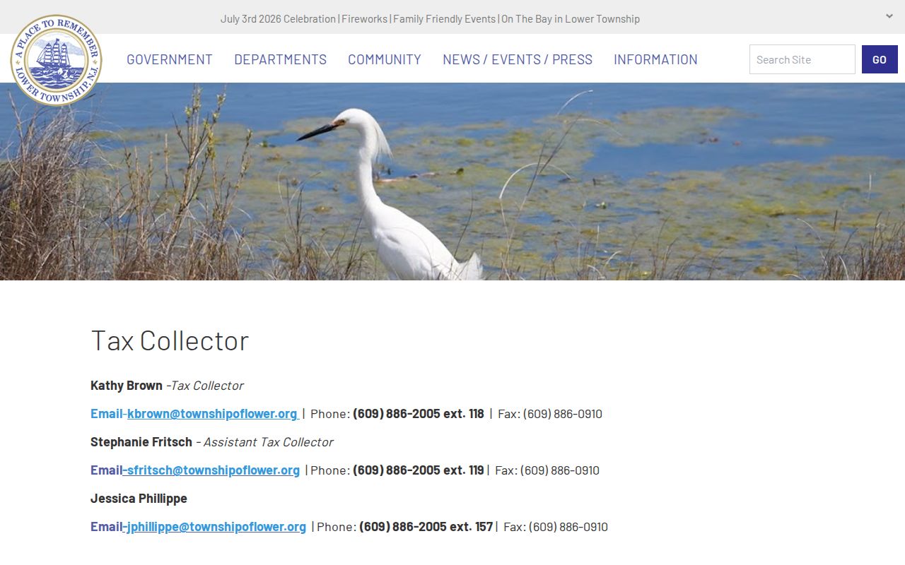
Payment or account access is not a public street roster, but the tax office remains a custodian route for municipal tax history and related records.
Lower Township Parcel Keys
The County GIS viewer gives a second way to anchor a street result. It accepts an owner in Last, First form, a physical address, or a municipal-code, block, and lot parcel value. Lower Township is municipal code 0505. The viewer also supports map selection, measurement in English or metric units, and a Parcel Buffer Report that can open or download as PDF or Excel. Its map position and parcel identifiers are stronger evidence of adjacency than a sequence of street numbers.
A parcel is the land unit used by the tax and map system. The situs address is the parcel's physical location. A tax mailing address is only where correspondence goes and may belong to a post office box, a business, an agent, another town, or another state. A current owner can differ from another household member. Those distinctions keep a by-address result from becoming an unsupported resident claim.
- Parcel
- A mapped tax unit identified by municipal code, block, lot, and sometimes a qualifier.
- Situs address
- The physical parcel location used for mapping and assessment.
- Qualifier
- An added parcel identifier, often needed to distinguish condominium units.
- Criss-cross directory
- An address-arranged historical directory that can offer a dated occupant clue.
Lower Township Street Record Sources
Address-keyed records in Lower Township do not all answer the same question. The county tools are best for current parcel and recorded-document work. Township offices hold construction and code files that can date an address event but are not public name directories. A statutory voter list can show registered voters at the time of the list, not every person in every household. Historical directories and newspapers add dated context. The table separates each source from the conclusion it can safely support.
| Record set | Keeper | Street result | Access |
|---|---|---|---|
| PRESS tax parcel | Cape May County | Current owner, parcel, map, prior sale links | Free current-property search |
| GIS parcel viewer | Cape May County | Geometry, address, parcel keys, nearby parcels | Free online viewer |
| Recorded deeds and instruments | County Clerk | Parties, dates, legal descriptions | Online deeds and mortgages from 1996; older counter/archive |
| Construction and code files | Lower Township | Work, notices, address chronology | Office or narrow OPRA request |
| Voter list | Cape May elections offices | Registration name, address, party, district | Title 19 channel and exclusions apply |
| Historical directory or paper | Library or archive | Dated address or published mention | Exact local reverse run requires reference-desk confirmation |
The street directory should therefore preserve the source date and type. A building permit can show construction activity, not a household. A deed can establish an instrument and legal interest, not a current resident. A voter list may contain registration geography but excludes signatures and protected addresses. This disciplined approach makes records useful for property, family-history, civic, and neighborhood research without claiming more than they show.
Read Lower Township Deed Results
The County Clerk public-search system is the recorded-document layer for a street address. It includes party name, document type, town, dates, consideration, file number, book and page, lot and block, legal-description line, map, district, parcel, and case-parcel modes. A Party Name search uses Last-Name First-Name without a comma. Add town as Lower Township, retain the file number and recording date, and use the legal description to keep the correct parcel in view.
Results may display party roles, document type, file number, book and page, page count, town, consideration, case or parcel, recording date and time, and correction flags. A grantor is the party transferring an interest. A grantee receives it. A legal description is the formal parcel language in the instrument and is often more reliable than an old street number. Search a seller as an earlier grantee to move backwards through ownership, then use the Record Room or County Archives for records before the online period.
The Cape May County Records Management page provides context for record storage and retrieval when an online index is not enough.
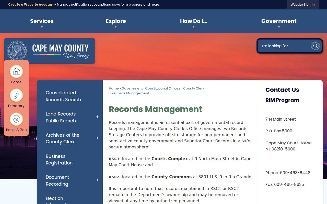
Older material can be stored or held by archives, so a precise request with party, parcel, date, and document information is more useful than a general street-name request.
Keep Lower Township Postal Labels Apart
A street record can carry a Cape May, Villas, Rio Grande, or Wildwood postal line even though the municipal jurisdiction is Lower Township. The mapping and assessor route should retain both values. North Cape May uses the Cape May postal city on its station address. Diamond Beach can use Wildwood 08260 while municipal records remain in Lower Township. Rio Grande delivery geography also needs street-level confirmation. USPS resolves delivery labels, not municipal tax jurisdiction or residence.
For older material, add former place labels to the search. Lower Township was incorporated in 1798. North Cape May was a borough from 1928 through 1945, South Cape May had its own history, and Cape May Point remains separate. A historic deed or newspaper mention may use Cape Island, Cape May, North Cape May, South Cape May, or Lower Township. Do not discard an otherwise plausible record just because its postal or historical label differs from today's line.
Lower Township Permit Files by Address
Construction and Code Enforcement are the offline address-record alternatives when a parcel and deed trail leaves a gap. The construction page identifies permit and inspection contacts, while code enforcement handles enforcement files. No public permit or case lookup was found. A useful request identifies the address, block and lot, permit or case type, date range, and desired fields. Do not ask the office to provide a general list of people associated with a street.
Construction is reached through the township at 609-886-2005, with extensions 136 and 104 listed for the department. Code Enforcement lists Walter Fiore at extension 154 and William Kelleher at extension 180. A releasable record can show an applicant, address, work, notice, or date, subject to exemptions. It can place an activity at a property, but it does not confirm a current household.
Use the Lower Township Construction Department page to check the published permit contact information.
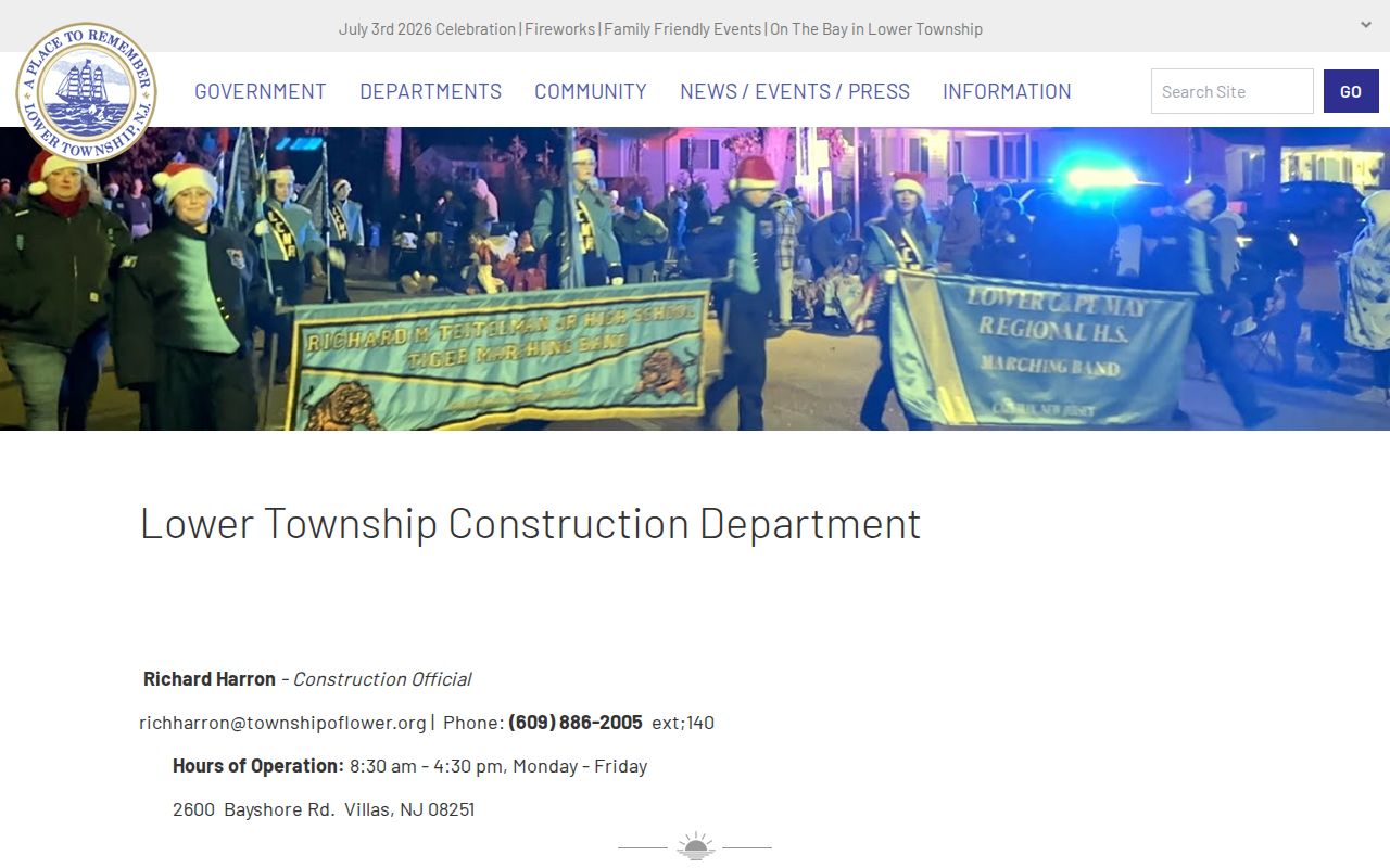
When files are not indexed online, the address and parcel key create the narrow request that a municipal custodian can evaluate.
The Lower Township Code Enforcement page identifies the local code-enforcement route for address-specific requests.
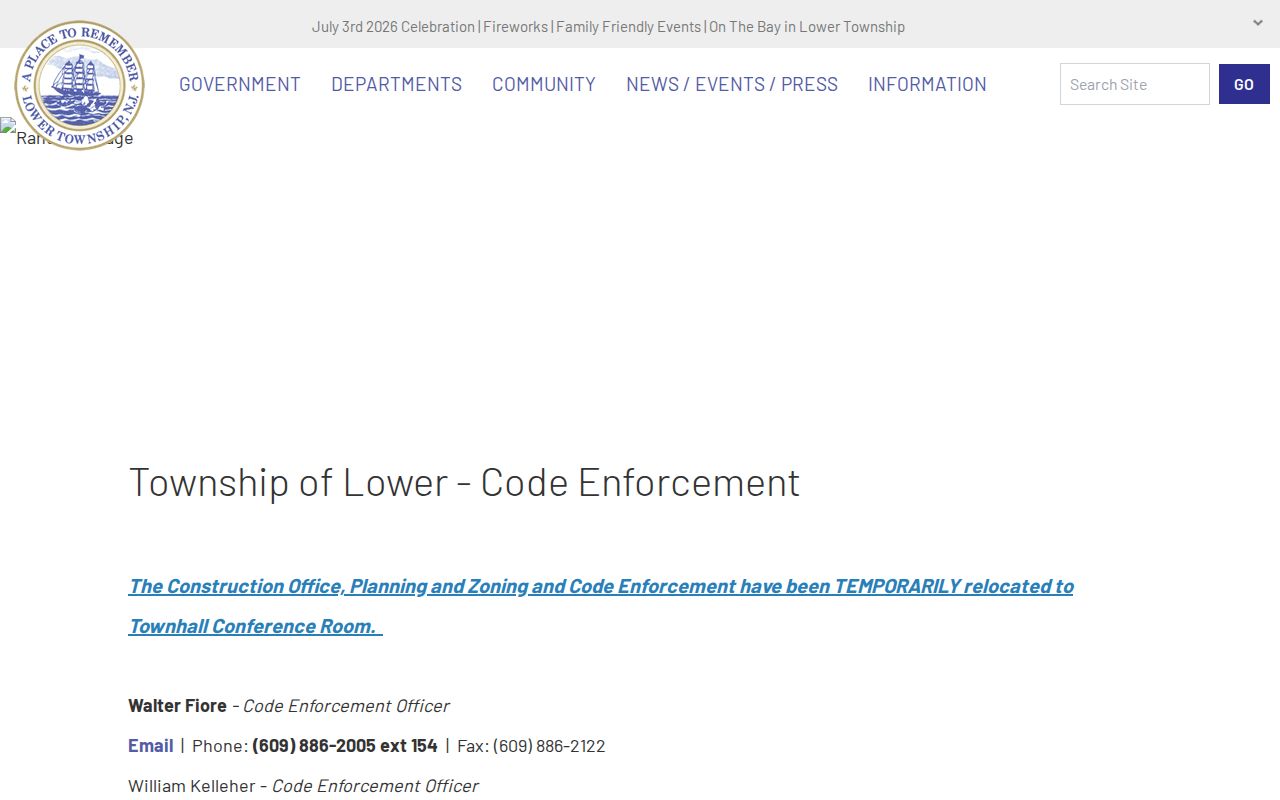
Code notices can help date an address history, but a notice is not a list of everyone connected to a property.
Earlier Lower Township Street Entries
Historical address work has a different evidence chain. Regional research verifies 1874 Belisle's and 1875-76 Hammitt's volumes with Cape May content, but the exact Lower Township reverse-directory run was not published in the library pages inspected. Ask Cape May County Library reference for street sections, reverse or criss-cross directories, telephone books, microfilm, and related local material. Record the exact title, year, page, spelling, number, and any household notation.
Pair a directory find with census, newspaper, probate, or deed evidence. County Archives lists local census material for 1850, 1860, 1865, and 1870, and federal schedules are public through 1950. The library's History Online collection supplies published context, but a newspaper or directory mention is not proof of present residence. For a longer historical household workflow, the Lower Township city-directories collection explains the available shelf and digital routes.
When Street Results Stop
A street search can stop at a current-owner limit, a changed block or lot, a pre-1996 deed, a sealed page, or a record held only at the counter. It can also fail because a street name is abbreviated or a historic place name differs. Write down the street string used, municipality, postal city, parcel key, date range, and whether the portal returned a result. The record keeper can then find the correct series or explain a restriction.
New Jersey's voter status page is not a free street roster. Statutory list access runs through the Cape May Board of Elections under Title 19, with protected addresses and signatures excluded. A list remains a registration snapshot. GIS data is parcel geography. Deed parties are recorded interests. These sources gain value when their limits are stated as plainly as their results.
Lower Township Street Directory Limits
The street directory cannot identify every resident at every address. Non-owner household members, children, utility customers, mail recipients, and people protected by confidentiality programs are not a public street roll. DMV residence data is restricted. USPS confirms delivery geography, not that a particular person or business is at the address. A sealed County Clerk page can reflect Daniel's Law and must be treated as a privacy result, not an invitation to search around it.
New Jersey's Address Confidentiality Program provides qualifying participants a substitute address and mail forwarding after relocation. That substitute is not a physical residence. Public sources should not be combined to reconstruct it. For a whole street's history, use the parcel and document trail; for the immediate surrounding properties, the map-based Lower Township neighbor lookup uses the county buffer tool with the same privacy boundaries.
Lawful use. Use Lower Township street records for personal, family-history, property, civic, or safety research. Do not use an address result to stalk, harass, intimidate, or harm anyone.