
Lower Township Neighbors by Parcel
A nearby-address search works best as a record trail. The county map establishes which parcels are close to the selected property. PRESS then supplies current tax-owner and parcel results, while recorded deeds add a dated transfer trail. A voter list, when lawfully requested from the election office, is a registration snapshot rather than a household census. Public community contacts can add context about an organization, but they are not personal rosters. Keep each result tied to its source and date.
| Source | What It Shows About a Block | Access |
|---|---|---|
| Cape May County Parcel Viewer | Parcel outlines, selected nearby parcels, physical address, owner search, and municipal code 0505 | Free online map and report tools |
| Parcel Buffer Report | Properties within 200 feet of a selected parcel | Selected parcel, then PDF or Excel output |
| Cape May County PRESS | Current tax owner, street result, block, lot, qualifier, map, and current or prior sale links | Free online; current-owner limits apply |
| County Clerk deed index | Parties, dates, document references, and legal descriptions for adjoining parcels | Online deeds and mortgages from 1996; older material in the Record Room or archives |
| Cape May Board of Elections | Statutory registered-voter list fields for an election district | Title 19 request; protected addresses and signatures excluded |
| Chamber and library sources | Public organization contacts and dated published references | Public directory, library databases, or archive access |
These sources do not merge into a definitive list of Lower Township neighbors. A tax owner may use a different mailing address. A non-owner household member might not appear in property data. The useful result is a documented parcel relationship, not an unsupported claim that a named person is at a particular home.
Lower Township Neighbors Within 200 Feet
The Cape May County Parcel Viewer is the practical starting point for an immediate Lower Township block. Search by physical address, choose or click the matching parcel, and use the Parcel Buffer Report. The viewer describes that report as a list of all properties within 200 feet of the selected property. It can open a PDF or download an Excel file. Record the township code, block, lot, qualifier, situs address, and report date with the output.
- Find the physical address in the map viewer or pan to the parcel and select it.
- Confirm that the parcel is in Lower Township, using municipal code 0505 where shown.
- Run the Parcel Buffer Report and save the PDF or Excel result with the search date.
- Compare the listed parcels with the map, then note each block, lot, and qualifier before opening another record.
- Use PRESS or the deed index to check a specific parcel record without treating the map list as an occupancy list.
Map selection is more reliable than a street-number assumption. The viewer also provides a length or area measurement tool, but a measurement is not a survey and does not establish a legal boundary.
Note: Save the report as a nearby-parcel snapshot, since map and tax data can change after a deed is recorded.
Lower Township Block Shapes Matter
On a typical numbered street, it is tempting to assume the closest number marks the closest parcel. That shortcut breaks down in Lower Township. Shorefront and bayfront lots may have irregular shapes, water boundaries, access strips, or older descriptions that do not behave like a city block. The map shows adjacency, while the buffer report shows a radius. Compare both before describing a Lower Township neighbor relationship.
Postal names add another check. A parcel may use a Cape May, Villas, Rio Grande, or Wildwood mailing line even when the municipal record is Lower Township. Preserve the municipality, community name, postal city, ZIP code, and parcel key as separate facts. This prevents a Wildwood or Cape May city line from being mistaken for a different local jurisdiction.
PRESS Checks for Lower Township Neighbors
After mapping the nearby parcels, use the Cape May County Consolidated Public Records Electronic Search System, or PRESS, to cross-check a selected parcel. Start with Lower Township as the municipality. PRESS supports current-owner, address, and block-and-lot modes. The address mode can browse a street when the number is omitted, and a condo qualifier may be needed to distinguish units. Detail pages can include a map and current or prior deed-sale information.
- Situs address
- The physical location of a parcel.
- Block and lot
- The tax-parcel identifiers used with Lower Township's municipal code 0505.
- Qualifier
- An added unit identifier, commonly important for condominium records.
- Tax mailing address
- The place for tax correspondence, which can differ from the parcel's physical address.
PRESS searches owner names as current owners. It is not a complete former-owner search or a title opinion. For a transfer question, open the current or prior sale link and move to the County Clerk index, following the legal description rather than relying only on a similar name or a street number.
Lower Township Neighbor Voter Records
New Jersey's public voter status checker is meant for a voter to check registration, not for browsing a block. For a lawful election-district record, contact the Cape May Board of Elections at 10 Mechanic Street in Cape May Court House or call 609-465-1050. N.J.S.A. 19:31-39 describes access to certain voter lists and electronic copies, with reproduction cost capped at $375 in the statute. Ask the election office for the current request method, available fields, fee, and permitted use.
A statutory list may identify registered name, residence address, party, ward, district, and status. Signatures are excluded, ballot choices are secret, and a Daniel's Law-protected home address is excluded. An inactive status can reflect an address question and a confirmation process. It is not proof that someone moved, and a list is not a complete record of everyone on a Lower Township block.
Public Contacts for Lower Township Neighbors
The Lower Township Chamber public directory supplies organization and business contacts that can help place an event notice, memorial, fundraiser, or community reference. It does not supply a household list. Use these public contacts for a dated notice, meeting information, or collection question, not to request private member details.
| Public organization contact | Documented role and limit |
|---|---|
| Rotary Club of Lower Township | Civic-service contact at P.O. Box 736, North Cape May; no public member roster was located. |
| Knights of Columbus, St. John Neumann Council 3546 | Public organization contact at 680 Townbank Road, North Cape May; membership list not located. |
| Stella Maris Home Association | Community or home-association contact at 324 Breakwater Road, Erma; no member directory located. |
| Society of St. Vincent de Paul | Public parish and community-service contact at 680 Townbank Road, North Cape May; participant information is private. |
| Lower Township MUA | Public district and board contact at 2900 Bayshore Road, Villas; customer and usage information are not public resident data. |
The Chamber's public directory is shown in this Lower Township Chamber source image.
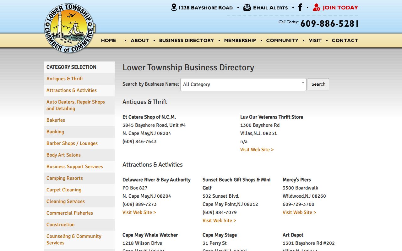
The image illustrates a public community-contact layer, not a directory of Lower Township neighbors or a source for private membership information.
Neighbor Records: Official and Commercial
Official sources identify the record they hold and the date or limit of that record. Commercial neighbor tools are a category of services that can combine stale public fragments, marketing files, and address associations. Their output can be useful only as a prompt to verify an official source. It does not establish legal ownership, current presence, or a relationship between people on nearby parcels.
| Source category | Useful question | Important limit |
|---|---|---|
| County GIS and PRESS | Which parcels are nearby and what current tax-parcel identifiers are shown? | Tax owner and mailing data do not prove household presence. |
| County deed index | What recorded property transaction links to a parcel? | A recorded transaction is not a statement of current residence or social connection. |
| Election-office list | What statutory registration fields are available for the requested election geography? | Restricted fields and protected addresses stay excluded. |
| Commercial neighbor tools | What fact needs independent verification? | Mixed sources can be old, incomplete, or assigned to the wrong person. |
Published Lower Township Neighbor History
For a historical block question, the Cape May County History Online collection offers keyword search and browsing across 5,385 issues and 44,871 pages reported by the library. A dated notice, obituary, organization reference, sale announcement, or address mention can supply a spelling or date to test in a deed, probate, or archive record. It should not be recast as a modern neighbor record.
The Cape May County Library reference desk, 609-463-6350 ext. 400, is the local route for asking about print, microfilm, historical directories, newspapers, and local ephemera. Exact Lower Township reverse-directory runs were not confirmed online. The county archives and Record Room become the fallback for older property material, particularly before the online deed cutoff.
Note: A former postal or borough name can be the correct historic label, so retain the source wording beside the current municipal name.
Private Limits for Lower Township Neighbors
Some information about a Lower Township block is deliberately absent. Nonregistered household members, children, utility customers, mail recipients, and protected people may not appear in public property, voter, or community records. New Jersey's Daniel's Law permits covered-person home-address redaction, and the Address Confidentiality Program provides a substitute legal address and mail forwarding for eligible participants. A sealed page or substitute address is a stop signal, not an invitation to reconstruct the location through another source.
The New Jersey Office of Information Privacy explains Daniel's Law and its address-protection process.
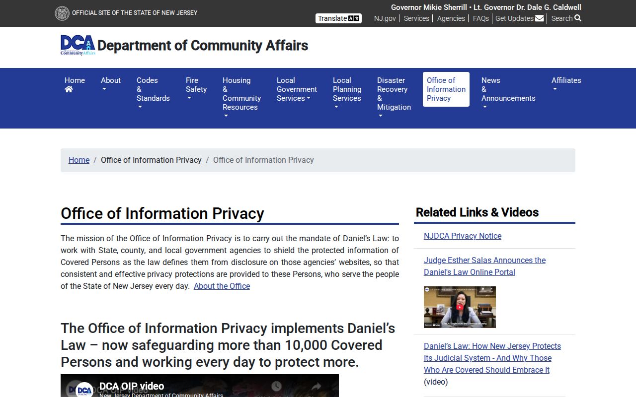
The privacy-office image reinforces why protected address information must remain excluded from any Lower Township neighbor search.
Lawful use. Use Lower Township neighbor records for a documented parcel, local-history, or civic question. Do not use them to watch, harass, intimidate, or harm any person, and do not pursue an address that a custodian has protected.