
Lower Township Previous Residents Sources
A backward address trail uses different sources for different eras. Current parcel tools supply the block, lot, qualifier, map, and current sale clue that make older work possible. The County Clerk index then provides recorded instruments and party roles. Directories, census schedules, newspapers, probate, permits, and maps add household or property context. Each source has a different keeper and cutoff. Keep the municipality and postal place with every note, since a record may say Cape May, Villas, Rio Grande, Wildwood, North Cape May, or another historical label instead of Lower Township.
| Source | Years it covers | Where held | What it shows |
|---|---|---|---|
| County Clerk online deeds and mortgages | 1996 to present | Cape May County Clerk land-record search | Recorded instruments, parties, dates, book and page references |
| County physical deeds and indexes | From 1692 | Hall of Records Record Room and County Archives | Older grantor-grantee chain and legal descriptions |
| PRESS and county GIS | Current layer; separate historical extent not stated | Online parcel tools | Current owner, situs, map, block, lot, and prior sale links |
| County and federal census | County: 1850, 1860, 1865, 1870; federal public through 1950 | County Archives and library genealogy access | Household snapshots and place context |
| Regional directories and newspapers | Directories: 1872, 1874, 1875-76 documented; newspapers vary | Library, microfilm, History Online, and regional holdings | Address, occupant, business, obituary, and estate clues |
| Surrogate estate index | 1804-1980 | State Archives microfilm and local Surrogate | Decedent, executor, heirs, and property leads |
For a recent transfer, begin online. For an earlier owner, move directly to the Record Room or archive rather than assuming the internet result is complete. For an occupant question, pair the property evidence with a dated directory, census, or newspaper result. That separation keeps previous residents research from confusing ownership with occupancy.
Start With a Lower Township Parcel
The stable unit for Lower Township address history is the parcel identity, not the current street number or a person’s name. In PRESS, select Lower Township and search by address, current owner, or block and lot. Record the situs, municipality, block, lot, qualifier, map, and any current or prior sale links. The county Parcel Viewer can supply a physical-address search, owner-name search, and municipal-code_block_lot key. Lower Township’s municipal code is 0505.
Save the postal place as a separate field. A Villas, Cape May, Rio Grande, or Wildwood mailing line does not replace the municipal jurisdiction. If an address fails to resolve, try a shorter street name, inspect the map, and search the old community label before assuming the parcel is outside Lower Township. PRESS searches a current owner by name, not every past owner by name. That current-owner limit is why the trail must pivot from parcel to deed.
Note: PRESS may display current or prior sale links, but it is not a complete historical-owner search and it does not prove occupancy.
Trace Lower Township Deed Links
The deed chain starts with the most recent recorded transfer and works backward from grantee to earlier grantor. Use the legal description, not only the street number, to keep the same land or unit together when a subdivision, street label, or tax designation changed. The County Clerk public search allows party-name, town, date, document-type, book and page, block and lot, legal-description, and parcel searches. Search surname first, select Lower Township, and preserve each document’s party role rather than treating every name as an owner.
- Locate the present parcel in PRESS or GIS and save block, lot, qualifier, map, and current or prior sale references.
- Find the current owner’s purchase deed in the County Clerk index using the party name, Lower Township, and date range.
- Record the file number, document type, book and page, recording date, consideration, party role, links, and legal description.
- Search the seller from that deed as an earlier grantee, then repeat the same comparison for the next transfer.
- When the online chain reaches its cutoff or a parcel key changes, use the book and page in the Record Room or County Archives.
- Grantor
- The party transferring an interest in a recorded deed or other instrument.
- Grantee
- The party receiving that interest. In a backward chain, a seller on one deed may be the earlier grantee to search next.
- Chain of title
- The sequence of recorded transfers and related instruments tied to the same parcel or legal description.
- Legal description
- The recorded land or unit description. It is more stable than a street address when names, lots, or numbering change.
Lower Township Clerk Index Fields
The County Clerk’s public search offers several routes, and the field used should match the lead in hand. Party Name accepts surname-first form without a comma. Town is an optional municipality selector, where Lower Township is the relevant choice. Date pairs use MM/DD/YYYY. A file-number search, book and page search, and combined lot and block route can bypass a difficult name spelling. Results can expose document type, file and date, book and page, page count, case or parcel, town, party labels, consideration, legal-description fields, linked documents, and correction flags.
| Clerk search field | How it supports past-residents research | Research note |
|---|---|---|
| Party Name | Finds a grantor, grantee, estate, or organization connection | Enter last name then first name; test spelling variants |
| Town | Narrows work to Lower Township | Use with a party or date where possible |
| Date range | Separates similarly named parties and transfer eras | Uses MM/DD/YYYY format |
| Book and page | Reaches a known instrument or Record Room reference | Requires a book type and numeric values |
| Lot and block | Connects modern parcel keys to a record search | Older instruments may use changed designations |
| Legal Description Line 1 | Tests the parcel rather than just a street label | Exact-line search; add a date only when useful |
Images may have cart, PDF, print, login, or payment controls. If a field is sealed under Daniel’s Law, do not seek to reconstruct it from other sources. Record the restriction and ask the Clerk about the official covered-person process if an authorized release route applies.
Lower Township Pre-1996 Record Room
The public land-record search advertises deeds and mortgages from January 1, 1996. A broader county online-records description refers to an August 2000 start for its wider database. Neither date is a beginning date for the underlying property record. Cape May County deeds and indexes reach back to 1692, and older material belongs in the Hall of Records Record Room or County Archives. The Record Room permits unassisted professional searching on weekdays from 9 a.m. to 4 p.m.; staff assistance requires an appointment through public records at 609-465-1023.
The Cape May County Clerk Archives preserves the county records context behind the older deed trail.
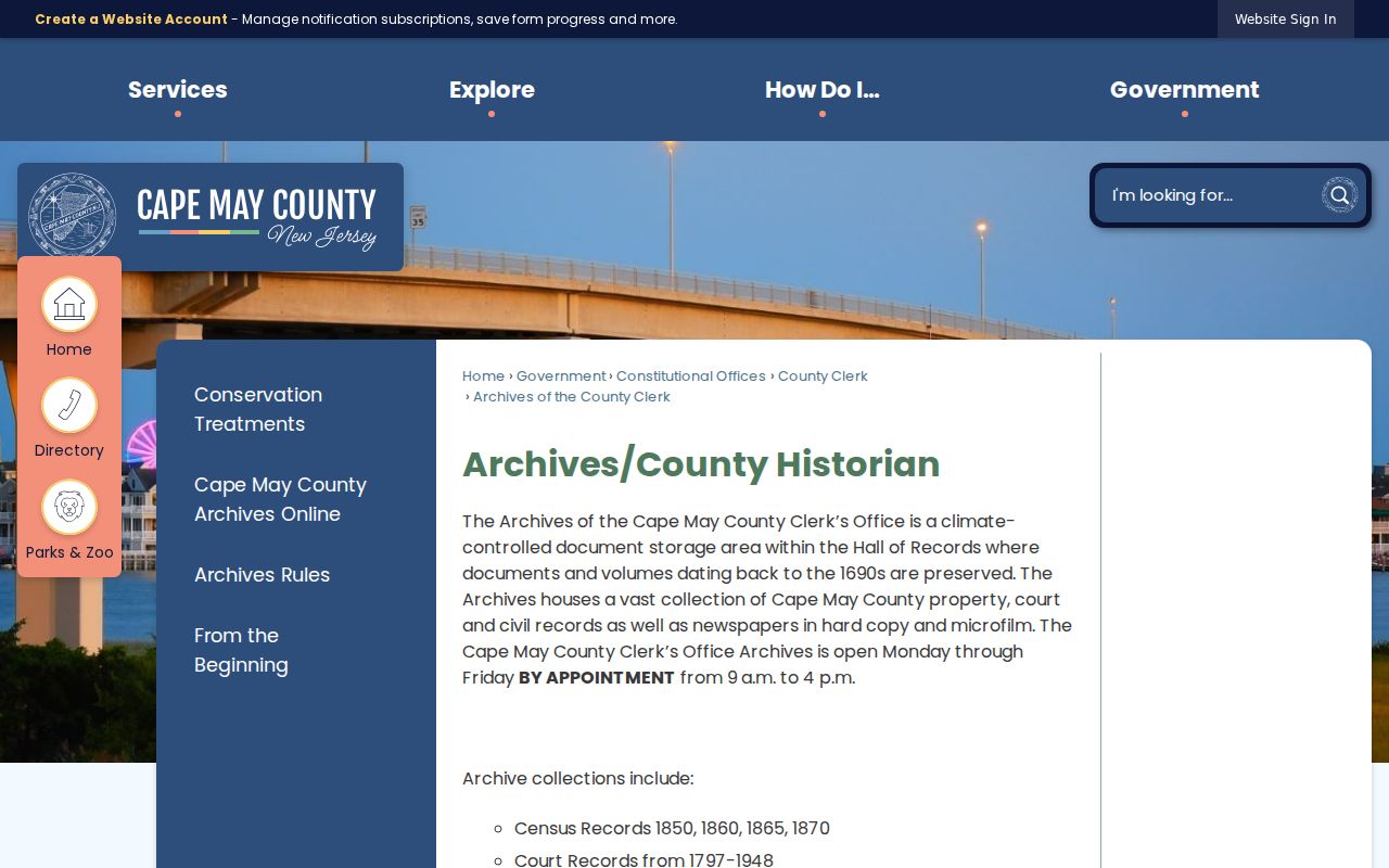
The archive is the correct fallback when a deed chain ends at an online cutoff, an unscanned book, or a historical legal-description problem. Bring the known book and page, parcel key, party spelling, and date range.
The Cape May County archive search site provides another official archive research entry point.
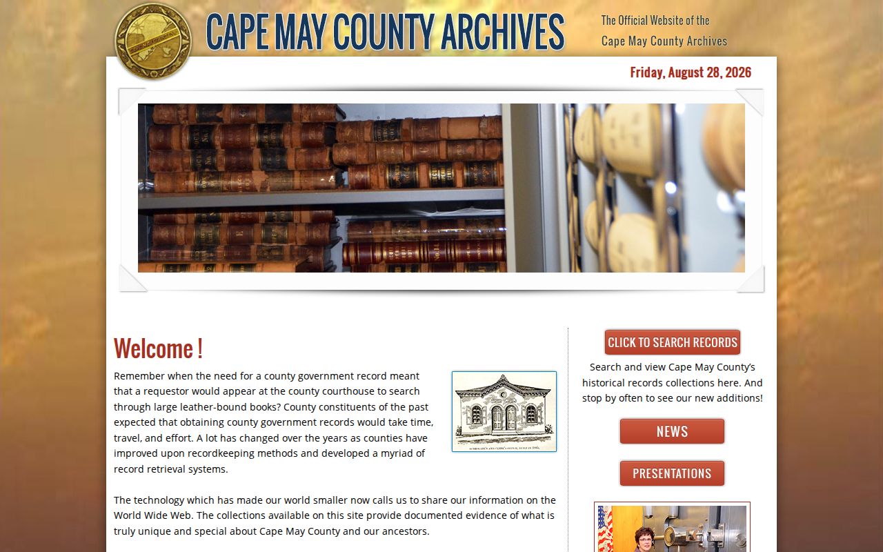
Archive tools can identify a relevant collection, but a finding aid or index result still needs confirmation from the holding office and the underlying record.
Lower Township Directory Census Pairing
Deeds describe recorded interests. To find who lived here before, pair them with time-stamped household sources. The Cape May County Library offers Ancestry Library Edition for in-library use, including federal census images. County Archives holds local 1850, 1860, 1865, and 1870 census material, a useful bridge between federal schedules. Regional directory research documents 1872, 1874 Belisle’s, and 1875-76 Hammitt’s Cape May content, but an exact Lower Township household run was not verified. Ask library reference staff for city, reverse, criss-cross, telephone, and street sections before assigning a directory year to an address.
- Start with a deed or parcel date and search the nearest directory’s alphabetical and street sections.
- Transcribe the number, occupant name, initials, family notation, household symbol, spelling, and year exactly as shown.
- Pair the directory date with the closest federal schedule and include Cape May County’s 1865 source where it fits.
- Compare names, age, relationship, place label, and address with the parcel’s deed trail.
- Use Cape May County History Online for obituary, marriage, estate, and organization mentions, then return each clue to a custodian record.
The historical volumes themselves are described on the Lower Township city directories page. For address history, their value lies in the dated household or street entry, not in a modern identity claim.
The New Jersey State Archives genealogical collections search supplies a separate official route for historical research.
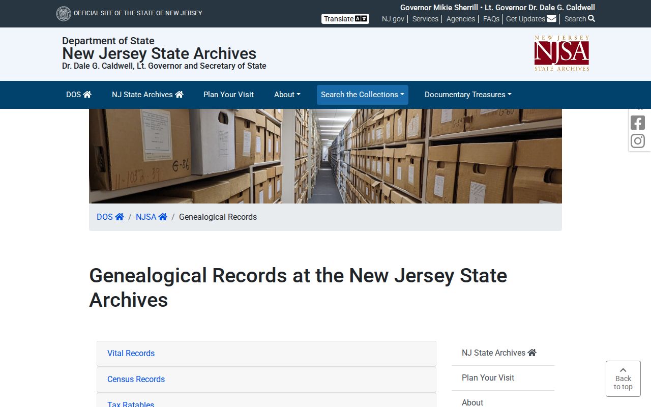
Use the archive search to locate historical series and then check the custodian’s access rules, date ranges, and image availability before making a household conclusion.
Lower Township Former Place Labels
Place names can hide a valid result. Lower Township was incorporated in 1798, but North Cape May was a borough from 1928 until returning to Lower Township in 1945. South Cape May also has a separate borough history, while Cape May Point remains separate. Historic deeds, directories, newspapers, and census material may say Cape Island, Cape May, North Cape May, South Cape May, or a post-office name rather than the current municipal label. Do not discard a result just because it lacks the words “Lower Township.”
No official source in this research documented a street-renumbering year. Do not invent one to explain a failed address search. Test the legal description, subdivision, block and lot, older community name, postal label, and available map before deciding that two records describe different places.
Note: Preserve the municipality, community label, postal city, ZIP, block and lot, and source date as separate fields in every address-history note.
Lower Township Maps Permits News
Maps, permits, and newspapers can fill a gap in the physical history of a Lower Township parcel, but each proves a limited fact. Building permits can date a project; they do not prove who occupied the property. Construction and Code Enforcement at Township offices are the local fallback for a narrow request by address, block and lot, date range, and record type. No public permit or code search was located. A written OPRA request should name the precise file needed rather than ask a custodian to identify everyone associated with an address.
The Library of Congress Sanborn map research guide explains the official search method for fire-insurance maps.
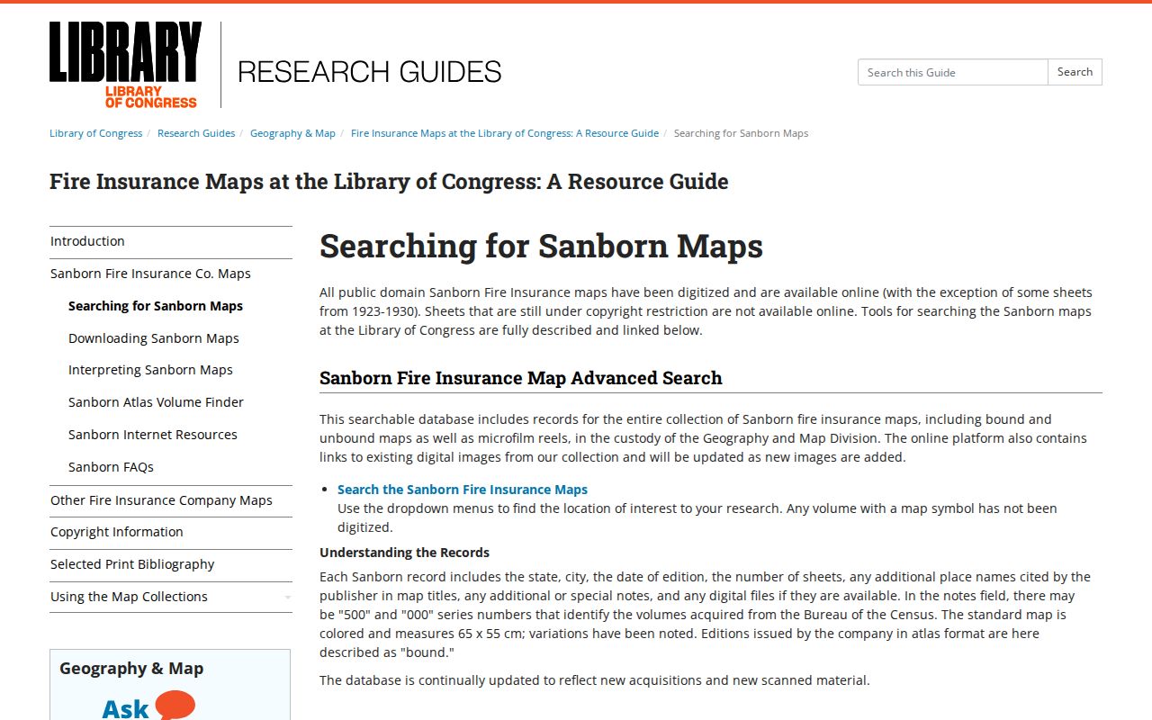
A specific Lower Township Sanborn year or title was not verified. Search Cape May, Villas, North Cape May, Lower Township, and historical place names before assuming a map sheet covers the parcel.
The New Jersey State Archives image is a useful reminder that state-held historical collections have their own catalog and request routes.
For newspapers, Cape May County History Online supports keyword search and browsing by title, date, and tags. Its published collection includes local newspapers, pamphlets, and selected books, so confirm a visible article or scan rather than relying on OCR alone.
Lower Township Estate Trail Endpoints
Obituaries and probate often mark the end of a former resident’s trail. An obituary can supply relatives, a place label, an organization, or an event date. The Cape May Surrogate and State Archives estate materials can then identify a decedent, executor, administrator, heir, or estate-property connection. The State Archives guide identifies Cape May estate papers for 1804 through 1980. A named heir or executor is a role in an estate record, not proof that person occupied the address.
The Cape May County surrogate-record guide is the official starting reference for that estate layer.
Use the estate index to develop a case or file request, then compare the estate name, date, property description, and deed parties before adding it to the address timeline.
Lower Township Past Residents Limits
Previous residents research is a house-history and family-history task, not a live-person locator. A current tax owner may mail from another state. A permit applicant may be an owner, contractor, or representative. A directory entry can be seasonal, business-oriented, incomplete, or tied to its publication year. A census is a historical snapshot. An obituary and probate index describe family or estate relationships. State and county records must be read for the narrow connection they document.
Lawful use. Use Lower Township previous residents records for personal, lawful address and family-history research. Never use a result to stalk, harass, track, intimidate, or harm a living person.
A Daniel’s Law sealed page or an Address Confidentiality Program substitute address is a stop signal. Do not triangulate the missing location from deeds, voter records, neighbors, social posts, or commercial directories. If a record appears wrong, ask the original custodian for its correction route and keep the uncertainty clear in the address timeline.